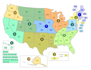
EPA’s map of renewable energy potential
RE-Powering Mapper – the U.S. EPA recently updated its RE-Powering Mapper, a map-based tool showing renewable energy potential on 66,000 contaminated lands, landfills, and mine sites across the country.
Features include:
- Screening results for over 66,000 sites for solar, wind, biomass, and geothermal energy
- Search options by renewable energy at various scales, contaminated land type, or specific site names
- Site–specific reports with site information; EPA Region and program managing the site; and specific acreage and renewable energy resource information.
From the press release:
Working in collaboration with the U.S. Department of Energy’s National Renewable Energy Laboratory (NREL), RE-Powering developed screening criteria for solar, wind, biomass, and geothermal potential at various levels of development. The sites are tracked by EPA and selected state agencies. …
In 2013, RE-Powering America’s Land Initiative was recognized as one of the Top 25 Innovations in American Government by Harvard University. This award program is one of the nation’s most prestigious and highlights exemplary models of government innovation and efforts to address the nation’s most pressing public concerns.

