
Compare city characteristics using maps
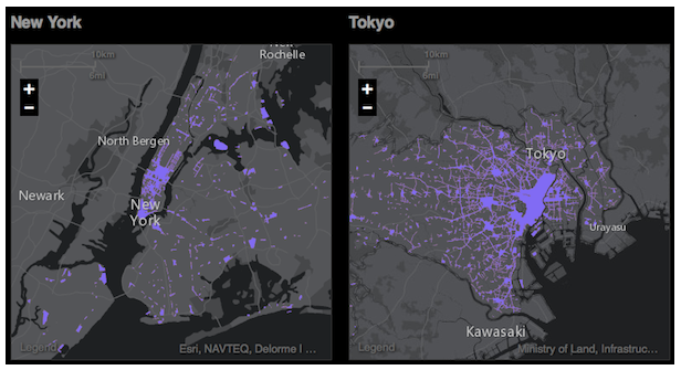
Prepare to Waste Your Day With This Fascinating City Comparison Tool – comparative mapping tool, Urban Observatory, was created by Richard Saul Wurman, geospatial firm Esri, and film company Radical Media. Shown here are two maps showing land dedicated to commercial use in New York and Tokyo.
… so far includes 16 cities. … you can toggle between them, pulling up navigable maps on population density, road congestion, and land use, among other data points (beware, though, that some of the cities are currently not shown at the same scale).
Saw it on @CannonDesign, a really great source of urban info. Thanks!